Chelsfield Lane, Goddington
Introduction
The photograph on this page of Chelsfield Lane, Goddington by David Howard as part of the Geograph project.
The Geograph project started in 2005 with the aim of publishing, organising and preserving representative images for every square kilometre of Great Britain, Ireland and the Isle of Man.

There are currently over 7.5m images from over 14,400 individuals and you can help contribute to the project by visiting https://www.geograph.org.uk
Chelsfield Lane, Goddington
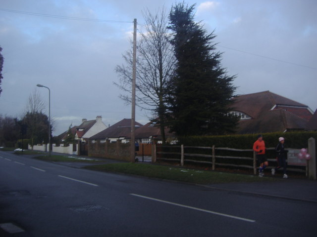
Image: © David Howard Taken: 12 Feb 2012
These are the last houses in London, beyond is the open countryside although Kent county itself is around a mile beyond to the east.
Images are licensed for reuse under creativecommons.org/licenses/by-sa/2.0
Image Location
Latitude
51.369764
Longitude
0.122909