Snodehill Farm
Introduction
The photograph on this page of Snodehill Farm by John Baker as part of the Geograph project.
The Geograph project started in 2005 with the aim of publishing, organising and preserving representative images for every square kilometre of Great Britain, Ireland and the Isle of Man.

There are currently over 7.5m images from over 14,400 individuals and you can help contribute to the project by visiting https://www.geograph.org.uk
Snodehill Farm
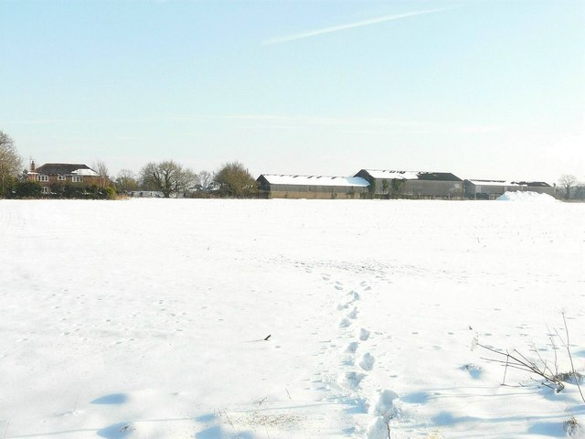
Image: © John Baker Taken: 11 Feb 2012
There was a sign at the entrance of the track leading to the house in this view which gave its name as The House on Snodehill.
Images are licensed for reuse under creativecommons.org/licenses/by-sa/2.0
Image Location
Latitude
51.17653
Longitude
1.153953