Chalvington Road
Introduction
The photograph on this page of Chalvington Road by Simon Carey as part of the Geograph project.
The Geograph project started in 2005 with the aim of publishing, organising and preserving representative images for every square kilometre of Great Britain, Ireland and the Isle of Man.

There are currently over 7.5m images from over 14,400 individuals and you can help contribute to the project by visiting https://www.geograph.org.uk
Chalvington Road
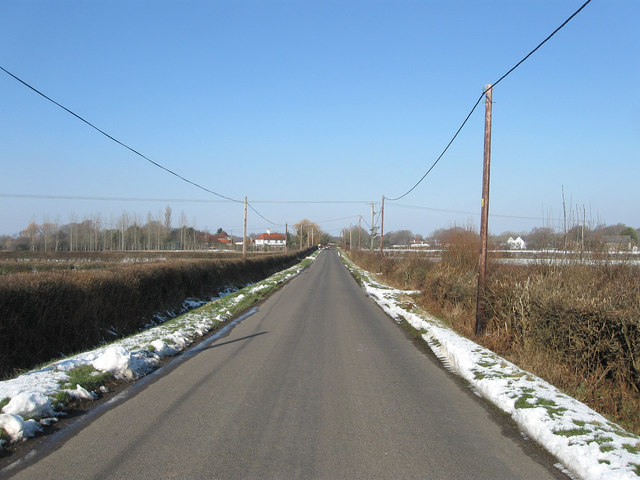
Image: © Simon Carey Taken: 11 Feb 2012
Another view of Image The straightness is due to it being laid out when the former Dicker Common was enclosed in 1813.
Images are licensed for reuse under creativecommons.org/licenses/by-sa/2.0
Image Location
Latitude
50.888926
Longitude
0.184294