Roman Road
Introduction
The photograph on this page of Roman Road by Keith Evans as part of the Geograph project.
The Geograph project started in 2005 with the aim of publishing, organising and preserving representative images for every square kilometre of Great Britain, Ireland and the Isle of Man.

There are currently over 7.5m images from over 14,400 individuals and you can help contribute to the project by visiting https://www.geograph.org.uk
Roman Road
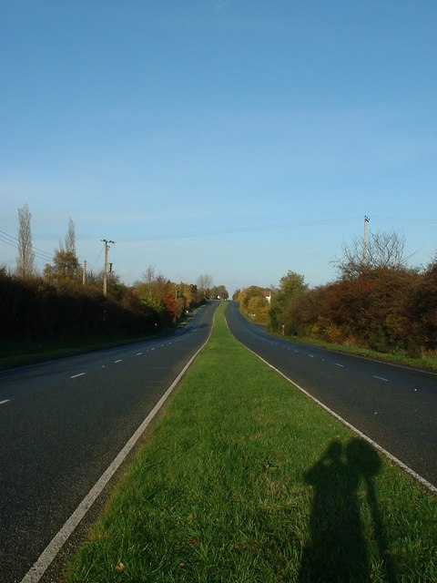
Image: © Keith Evans Taken: 17 Nov 2006
The old A12 near Copdock Suffolk. Marked on the Ordnance Survey maps as an Old Roman road now the old A12.
Images are licensed for reuse under creativecommons.org/licenses/by-sa/2.0
Image Location


Leaflet Map data © OpenStreetMap
Latitude
52.022476
Longitude
1.074953