Hicks Field
Introduction
The photograph on this page of Hicks Field by Simon Carey as part of the Geograph project.
The Geograph project started in 2005 with the aim of publishing, organising and preserving representative images for every square kilometre of Great Britain, Ireland and the Isle of Man.

There are currently over 7.5m images from over 14,400 individuals and you can help contribute to the project by visiting https://www.geograph.org.uk
Hicks Field
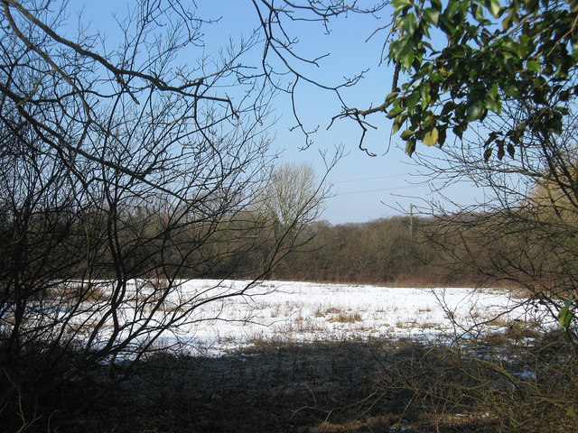
Image: © Simon Carey Taken: 11 Feb 2012
The name of the field according to Chiddingly's 1839 tithe map formed from the inclosure of Dicker Common in 1813 just visible through a gap in the hedge on Nash Street.
Images are licensed for reuse under creativecommons.org/licenses/by-sa/2.0
Image Location
Latitude
50.887665
Longitude
0.198738