Totton: disused level crossing on the High Street
Introduction
The photograph on this page of Totton: disused level crossing on the High Street by Chris Downer as part of the Geograph project.
The Geograph project started in 2005 with the aim of publishing, organising and preserving representative images for every square kilometre of Great Britain, Ireland and the Isle of Man.

There are currently over 7.5m images from over 14,400 individuals and you can help contribute to the project by visiting https://www.geograph.org.uk
Totton: disused level crossing on the High Street
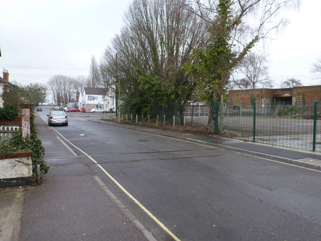
Image: © Chris Downer Taken: 5 Feb 2012
An old industrial siding, long disused, has a visible remnant set into the surface of the High Street before coming to an abrupt end with the pavement and car park behind it having been relaid right over the top.
Images are licensed for reuse under creativecommons.org/licenses/by-sa/2.0
Image Location
Latitude
50.916848
Longitude
-1.482998