'St. Heliers', Chapel Road
Introduction
The photograph on this page of 'St. Heliers', Chapel Road by Roger Templeman as part of the Geograph project.
The Geograph project started in 2005 with the aim of publishing, organising and preserving representative images for every square kilometre of Great Britain, Ireland and the Isle of Man.

There are currently over 7.5m images from over 14,400 individuals and you can help contribute to the project by visiting https://www.geograph.org.uk
'St. Heliers', Chapel Road
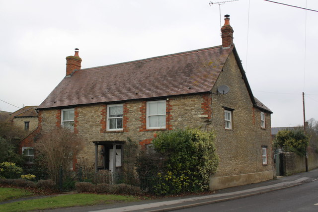
Image: © Roger Templeman Taken: 7 Feb 2012
A cut mark benchmark was verified at 73.65m above Newlyn datum by the Ordnance Survey on the road face of this house in 1967. It was 40cm above ground, so is presumably concealed by the concrete skirt now applied to the lower section of the face.
Images are licensed for reuse under creativecommons.org/licenses/by-sa/2.0
Image Location
Latitude
51.640614
Longitude
-1.506171