The Ballynahinch Road, Hillsborough (4)
Introduction
The photograph on this page of The Ballynahinch Road, Hillsborough (4) by Albert Bridge as part of the Geograph project.
The Geograph project started in 2005 with the aim of publishing, organising and preserving representative images for every square kilometre of Great Britain, Ireland and the Isle of Man.

There are currently over 7.5m images from over 14,400 individuals and you can help contribute to the project by visiting https://www.geograph.org.uk
The Ballynahinch Road, Hillsborough (4)
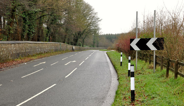
Image: © Albert Bridge Taken: 11 Feb 2012
The Ballynahinch Road Image, looking towards Hillsborough, at the approach to the “T” junction with the Comber Road Image Image shows the view to Ballynahinch from the same viewpoint.
Images are licensed for reuse under creativecommons.org/licenses/by-sa/2.0
Image Location
Latitude
54.459763
Longitude
-6.065802