Lane at Drownsmill
Introduction
The photograph on this page of Lane at Drownsmill by Derek Harper as part of the Geograph project.
The Geograph project started in 2005 with the aim of publishing, organising and preserving representative images for every square kilometre of Great Britain, Ireland and the Isle of Man.

There are currently over 7.5m images from over 14,400 individuals and you can help contribute to the project by visiting https://www.geograph.org.uk
Lane at Drownsmill
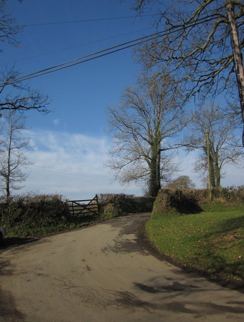
Image: © Derek Harper Taken: 8 Feb 2012
A signpost still marks Drownsmill Cross here, but this has been reduced to a sharp bend in a wandering lane between Rexon and Kellacott. Once, the lane from Rexon continued to the left down the Wolf valley to Lifton, but the A30 dual carriageway has cut this route off, and I don't think even a pedestrian can now cross the main road.
Images are licensed for reuse under creativecommons.org/licenses/by-sa/2.0
Image Location


Leaflet Map data © OpenStreetMap
Latitude
50.66934
Longitude
-4.256914