St Michael's churchyard
Introduction
The photograph on this page of St Michael's churchyard by Robert Graham as part of the Geograph project.
The Geograph project started in 2005 with the aim of publishing, organising and preserving representative images for every square kilometre of Great Britain, Ireland and the Isle of Man.

There are currently over 7.5m images from over 14,400 individuals and you can help contribute to the project by visiting https://www.geograph.org.uk
St Michael's churchyard
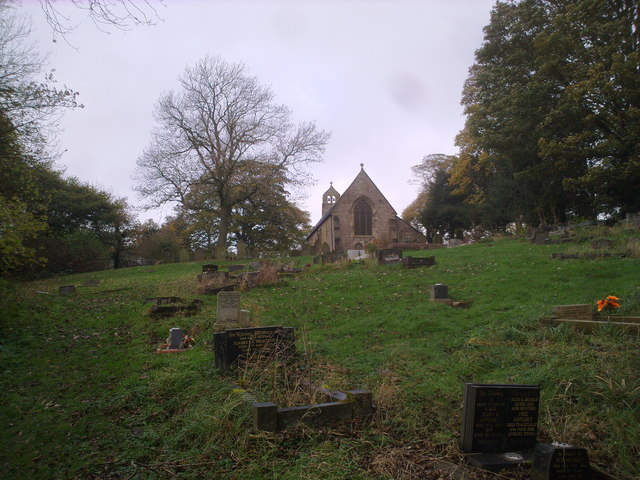
Image: © Robert Graham Taken: 2 Nov 2011
The churchyard at St Michael and All Angels church at Witton Gilbert. A nice point here, not usually known to people from outside the area, is that the G in Gilbert is pronounced in the soft french manner as a J. This usage has persisted from the middle ages.
Images are licensed for reuse under creativecommons.org/licenses/by-sa/2.0
Image Location
Latitude
54.801939
Longitude
-1.635809