Stonton Road/Cranoe Road/Croxfield Spinney
Introduction
The photograph on this page of Stonton Road/Cranoe Road/Croxfield Spinney by Andrew Tatlow as part of the Geograph project.
The Geograph project started in 2005 with the aim of publishing, organising and preserving representative images for every square kilometre of Great Britain, Ireland and the Isle of Man.

There are currently over 7.5m images from over 14,400 individuals and you can help contribute to the project by visiting https://www.geograph.org.uk
Stonton Road/Cranoe Road/Croxfield Spinney
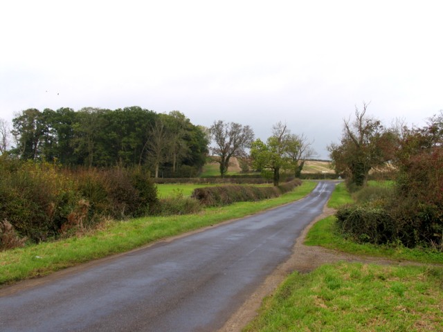
Image: © Andrew Tatlow Taken: 8 Nov 2006
Stonton Road goes down to Cranoe Road with Croxfield Spinney in the background.
Images are licensed for reuse under creativecommons.org/licenses/by-sa/2.0
Image Location
Latitude
52.543497
Longitude
-0.927954