Old Stream Crossing
Introduction
The photograph on this page of Old Stream Crossing by Eric Foster as part of the Geograph project.
The Geograph project started in 2005 with the aim of publishing, organising and preserving representative images for every square kilometre of Great Britain, Ireland and the Isle of Man.

There are currently over 7.5m images from over 14,400 individuals and you can help contribute to the project by visiting https://www.geograph.org.uk
Old Stream Crossing
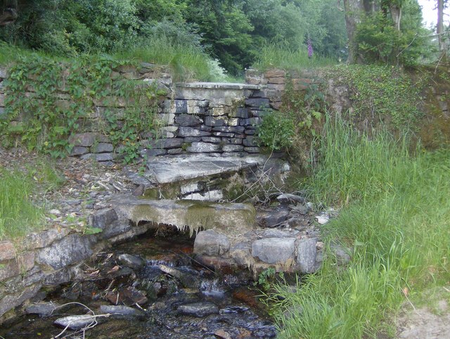
Image: © Eric Foster Taken: 16 Jun 2010
Close to the unadopted road, and adjacent to the footpath leading up towards Looe Mills Farm, is this small dam, creating the small pond behind it. An old crude footbridge can be seen in the foreground, although it is safer to get one's feet wet and walk across the water passing over the track!
Images are licensed for reuse under creativecommons.org/licenses/by-sa/2.0
Image Location
Latitude
50.455329
Longitude
-4.483823