View East near Whitestocks
Introduction
The photograph on this page of View East near Whitestocks by Robert Graham as part of the Geograph project.
The Geograph project started in 2005 with the aim of publishing, organising and preserving representative images for every square kilometre of Great Britain, Ireland and the Isle of Man.

There are currently over 7.5m images from over 14,400 individuals and you can help contribute to the project by visiting https://www.geograph.org.uk
View East near Whitestocks
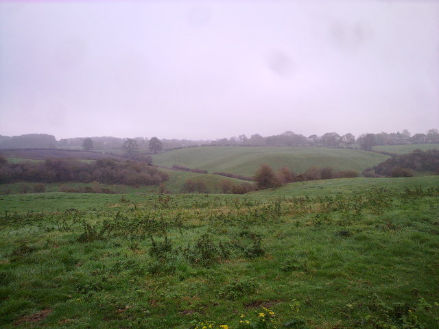
Image: © Robert Graham Taken: 2 Nov 2011
View from the path between Arbour House and Stotgate Farm on a rather misty Autumn morning.
Images are licensed for reuse under creativecommons.org/licenses/by-sa/2.0
Image Location


Leaflet Map data © OpenStreetMap
Latitude
54.783858
Longitude
-1.601453