The Ballydonnell Road just south of Corbally Cross Roads
Introduction
The photograph on this page of The Ballydonnell Road just south of Corbally Cross Roads by Eric Jones as part of the Geograph project.
The Geograph project started in 2005 with the aim of publishing, organising and preserving representative images for every square kilometre of Great Britain, Ireland and the Isle of Man.

There are currently over 7.5m images from over 14,400 individuals and you can help contribute to the project by visiting https://www.geograph.org.uk
The Ballydonnell Road just south of Corbally Cross Roads
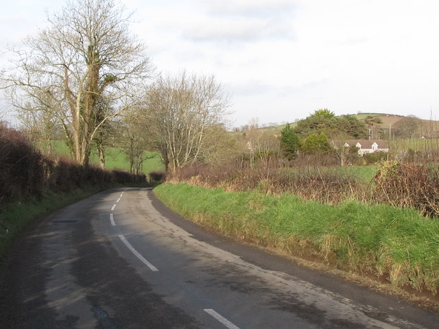
Image: © Eric Jones Taken: 7 Feb 2012
This is a narrow and busy road linking as it does the A25 and the A2. It also provides the most convenient link between Downpatrick and the Ballykinler Garrison.
Images are licensed for reuse under creativecommons.org/licenses/by-sa/2.0
Image Location
Latitude
54.285595
Longitude
-5.762524