Rear of South Undercliff
Introduction
The photograph on this page of Rear of South Undercliff by Oast House Archive as part of the Geograph project.
The Geograph project started in 2005 with the aim of publishing, organising and preserving representative images for every square kilometre of Great Britain, Ireland and the Isle of Man.

There are currently over 7.5m images from over 14,400 individuals and you can help contribute to the project by visiting https://www.geograph.org.uk
Rear of South Undercliff
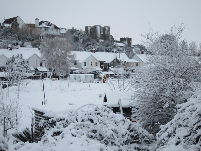
Image: © Oast House Archive Taken: 5 Feb 2012
Ypres Tower seen on the hill.
Images are licensed for reuse under creativecommons.org/licenses/by-sa/2.0
Image Location


Leaflet Map data © OpenStreetMap
Latitude
50.94891
Longitude
0.73512