The Ballylucas Road ascending towards Scollogstown
Introduction
The photograph on this page of The Ballylucas Road ascending towards Scollogstown by Eric Jones as part of the Geograph project.
The Geograph project started in 2005 with the aim of publishing, organising and preserving representative images for every square kilometre of Great Britain, Ireland and the Isle of Man.

There are currently over 7.5m images from over 14,400 individuals and you can help contribute to the project by visiting https://www.geograph.org.uk
The Ballylucas Road ascending towards Scollogstown
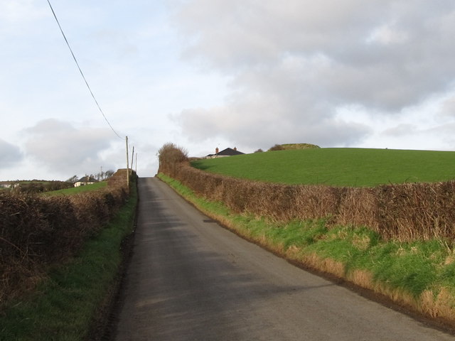
Image: © Eric Jones Taken: 7 Feb 2012
An Anglo-Norman motte, built on the site of an earlier rath, can be seen on the top of the drumlin.
Images are licensed for reuse under creativecommons.org/licenses/by-sa/2.0
Image Location
Latitude
54.262409
Longitude
-5.733542