Central reservation, Allesley Old Road
Introduction
The photograph on this page of Central reservation, Allesley Old Road by E Gammie as part of the Geograph project.
The Geograph project started in 2005 with the aim of publishing, organising and preserving representative images for every square kilometre of Great Britain, Ireland and the Isle of Man.

There are currently over 7.5m images from over 14,400 individuals and you can help contribute to the project by visiting https://www.geograph.org.uk
Central reservation, Allesley Old Road
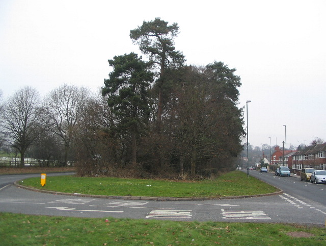
Image: © E Gammie Taken: 9 Feb 2012
1913-25 old Ordnance Survey 1:2500 maps show Allesley Old Road as a single carriageway road running to the right of the trees. By the time of the 1936-7 1:2500 maps the road is shown as a dual carriageway with a new carriageway having been created to the left of the trees.
Images are licensed for reuse under creativecommons.org/licenses/by-sa/2.0
Image Location
Latitude
52.418048
Longitude
-1.552676