Horseshoe Farm
Introduction
The photograph on this page of Horseshoe Farm by Anne Pollitt as part of the Geograph project.
The Geograph project started in 2005 with the aim of publishing, organising and preserving representative images for every square kilometre of Great Britain, Ireland and the Isle of Man.

There are currently over 7.5m images from over 14,400 individuals and you can help contribute to the project by visiting https://www.geograph.org.uk
Horseshoe Farm
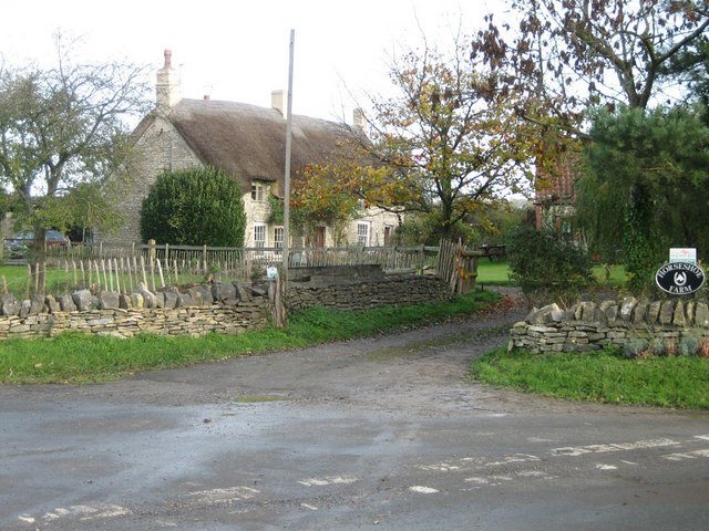
Image: © Anne Pollitt Taken: 11 Nov 2006
Thatched farmhouse at Horton near Chipping Sodbury
Images are licensed for reuse under creativecommons.org/licenses/by-sa/2.0
Image Location
Latitude
51.558848
Longitude
-2.353358