Pasture, Pitt Farm
Introduction
The photograph on this page of Pasture, Pitt Farm by Derek Harper as part of the Geograph project.
The Geograph project started in 2005 with the aim of publishing, organising and preserving representative images for every square kilometre of Great Britain, Ireland and the Isle of Man.

There are currently over 7.5m images from over 14,400 individuals and you can help contribute to the project by visiting https://www.geograph.org.uk
Pasture, Pitt Farm
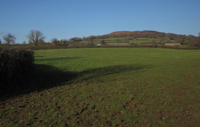
Image: © Derek Harper Taken: 3 Feb 2012
A field crossed by Culmstock Footpath 1 on its way to Pitt Farm, just visible right of centre. Behind rises Culmstock Beacon.
Images are licensed for reuse under creativecommons.org/licenses/by-sa/2.0
Image Location
Latitude
50.919816
Longitude
-3.268953