Approaching Roxburgh Junction
Introduction
The photograph on this page of Approaching Roxburgh Junction by Richard Webb as part of the Geograph project.
The Geograph project started in 2005 with the aim of publishing, organising and preserving representative images for every square kilometre of Great Britain, Ireland and the Isle of Man.

There are currently over 7.5m images from over 14,400 individuals and you can help contribute to the project by visiting https://www.geograph.org.uk
Approaching Roxburgh Junction
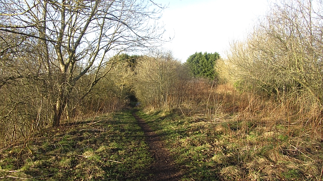
Image: © Richard Webb Taken: 12 Jan 2012
The railway from Kelso met a branch to Jedburgh here. The Jed branch failed to recover from catastrophic flooding in 1948 but the trackbed is accessible as far as Nesbit.
Images are licensed for reuse under creativecommons.org/licenses/by-sa/2.0
Image Location
Latitude
55.56714
Longitude
-2.480273