Thatched House
Introduction
The photograph on this page of Thatched House by Graham Horn as part of the Geograph project.
The Geograph project started in 2005 with the aim of publishing, organising and preserving representative images for every square kilometre of Great Britain, Ireland and the Isle of Man.

There are currently over 7.5m images from over 14,400 individuals and you can help contribute to the project by visiting https://www.geograph.org.uk
Thatched House
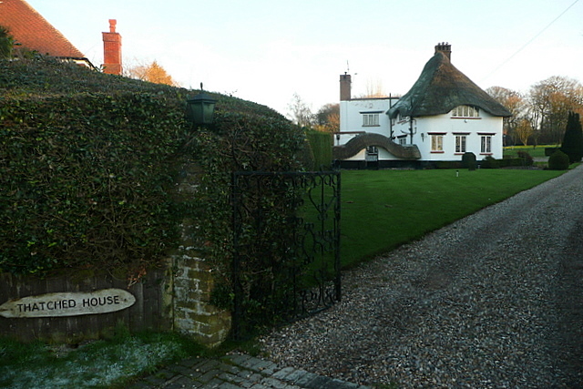
Image: © Graham Horn Taken: 16 Jan 2012
No house numbers in this area, just names. I was expecting the next one to be called Tiled House, but it wasn't.
Images are licensed for reuse under creativecommons.org/licenses/by-sa/2.0
Image Location
Latitude
51.657529
Longitude
-0.572818