A variety of farm buildings at Langdon Barton
Introduction
The photograph on this page of A variety of farm buildings at Langdon Barton by David Smith as part of the Geograph project.
The Geograph project started in 2005 with the aim of publishing, organising and preserving representative images for every square kilometre of Great Britain, Ireland and the Isle of Man.

There are currently over 7.5m images from over 14,400 individuals and you can help contribute to the project by visiting https://www.geograph.org.uk
A variety of farm buildings at Langdon Barton
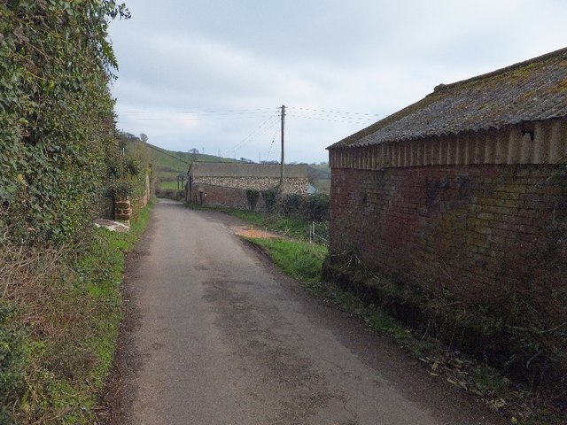
Image: © David Smith Taken: 7 Feb 2012
On the right, the nearest building is brick-built. Beyond that the construction is stone with a modern pitched roof. In the distance on the right is Dutch barn
Images are licensed for reuse under creativecommons.org/licenses/by-sa/2.0
Image Location
Latitude
50.602621
Longitude
-3.510946