White House Farm
Introduction
The photograph on this page of White House Farm by Jonathan Billinger as part of the Geograph project.
The Geograph project started in 2005 with the aim of publishing, organising and preserving representative images for every square kilometre of Great Britain, Ireland and the Isle of Man.

There are currently over 7.5m images from over 14,400 individuals and you can help contribute to the project by visiting https://www.geograph.org.uk
White House Farm
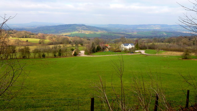
Image: © Jonathan Billinger Taken: 8 Feb 2012
Viewed from the edge of Cae-jack Wood. The Trothy valley and Long Hill feature in the Monmouthshire landscape beyond.
Images are licensed for reuse under creativecommons.org/licenses/by-sa/2.0
Image Location
Latitude
51.773584
Longitude
-2.736062