Footpath towards A413
Introduction
The photograph on this page of Footpath towards A413 by Graham Horn as part of the Geograph project.
The Geograph project started in 2005 with the aim of publishing, organising and preserving representative images for every square kilometre of Great Britain, Ireland and the Isle of Man.

There are currently over 7.5m images from over 14,400 individuals and you can help contribute to the project by visiting https://www.geograph.org.uk
Footpath towards A413
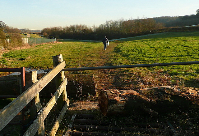
Image: © Graham Horn Taken: 16 Jan 2012
The A413 bypasses Amersham old town. This footpath from the old town along the River Misbourne valley starts by heading for a tunnel underneath the road, somewhere in that line of young trees.
Images are licensed for reuse under creativecommons.org/licenses/by-sa/2.0
Image Location
Latitude
51.663556
Longitude
-0.610511