Arable land at Raans Farm
Introduction
The photograph on this page of Arable land at Raans Farm by Graham Horn as part of the Geograph project.
The Geograph project started in 2005 with the aim of publishing, organising and preserving representative images for every square kilometre of Great Britain, Ireland and the Isle of Man.

There are currently over 7.5m images from over 14,400 individuals and you can help contribute to the project by visiting https://www.geograph.org.uk
Arable land at Raans Farm
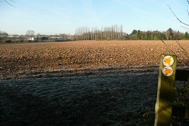
Image: © Graham Horn Taken: 16 Jan 2012
The footpath from Little Chalfont to Amersham goes alongside this arable field, recently sown by the look of it. The industrial estate is never far away.
Images are licensed for reuse under creativecommons.org/licenses/by-sa/2.0
Image Location
Latitude
51.673098
Longitude
-0.581295