Footpath towards Amersham
Introduction
The photograph on this page of Footpath towards Amersham by Graham Horn as part of the Geograph project.
The Geograph project started in 2005 with the aim of publishing, organising and preserving representative images for every square kilometre of Great Britain, Ireland and the Isle of Man.

There are currently over 7.5m images from over 14,400 individuals and you can help contribute to the project by visiting https://www.geograph.org.uk
Footpath towards Amersham
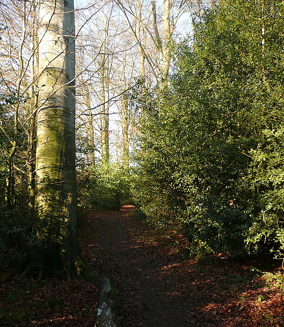
Image: © Graham Horn Taken: 16 Jan 2012
This footpath links Little Chalfont with Amersham, to the north of the former saw mill. The woodland is only about 30 metres wide, with new housing on the left and farmland to the right, yet the path feels quite isolated going through the middle of it.
Images are licensed for reuse under creativecommons.org/licenses/by-sa/2.0
Image Location
Latitude
51.672482
Longitude
-0.574951