Deserted cottage west of Eggleston Burn
Introduction
The photograph on this page of Deserted cottage west of Eggleston Burn by Trevor Littlewood as part of the Geograph project.
The Geograph project started in 2005 with the aim of publishing, organising and preserving representative images for every square kilometre of Great Britain, Ireland and the Isle of Man.

There are currently over 7.5m images from over 14,400 individuals and you can help contribute to the project by visiting https://www.geograph.org.uk
Deserted cottage west of Eggleston Burn
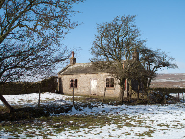
Image: © Trevor Littlewood Taken: 7 Feb 2012
A tiny cottage at the side of a field east of Standing Stones Farm. Clearly deserted, this, the south side appears to be in reasonable condition but the rear view reveals serious structural problems.
Images are licensed for reuse under creativecommons.org/licenses/by-sa/2.0
Image Location
Latitude
54.62347
Longitude
-2.024283