Burial ground at Dunbarney
Introduction
The photograph on this page of Burial ground at Dunbarney by William Starkey as part of the Geograph project.
The Geograph project started in 2005 with the aim of publishing, organising and preserving representative images for every square kilometre of Great Britain, Ireland and the Isle of Man.

There are currently over 7.5m images from over 14,400 individuals and you can help contribute to the project by visiting https://www.geograph.org.uk
Burial ground at Dunbarney
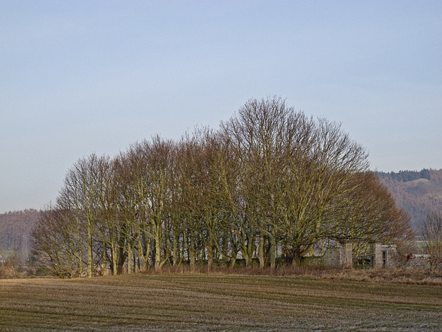
Image: © William Starkey Taken: 7 Feb 2012
A view of the western aspect of the burial ground at Dunbarney, once the site of a parish church. This was demolished in 1684 to provide material for a church in Bridge of Earn. A substantial wall still surrounds the graveyard, which contains many ancient and decaying headstones.
Images are licensed for reuse under creativecommons.org/licenses/by-sa/2.0
Image Location
Latitude
56.354722
Longitude
-3.436671