Bollington over the water looking NE
Introduction
The photograph on this page of Bollington over the water looking NE by Peter Turner as part of the Geograph project.
The Geograph project started in 2005 with the aim of publishing, organising and preserving representative images for every square kilometre of Great Britain, Ireland and the Isle of Man.

There are currently over 7.5m images from over 14,400 individuals and you can help contribute to the project by visiting https://www.geograph.org.uk
Bollington over the water looking NE
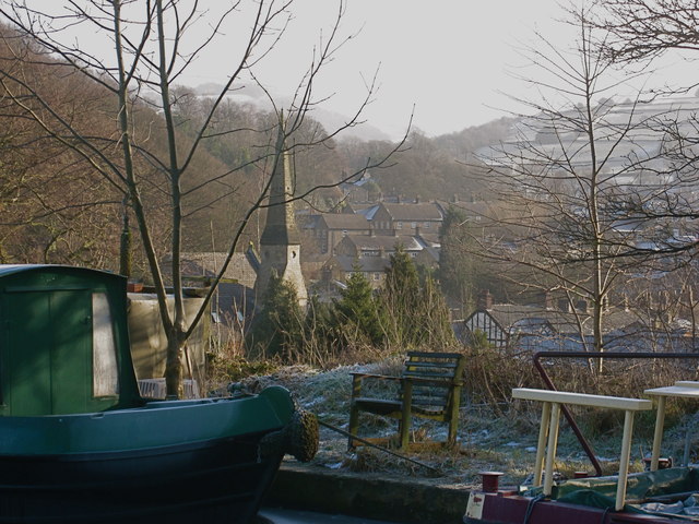
Image: © Peter Turner Taken: 7 Feb 2012
Peering between the moored narrow boats there is the spire of the church (deconsecrated and a dwelling) and the hillside of the valley of the Harrop Brook which joins the River Dean to flow through Bollington.
Images are licensed for reuse under creativecommons.org/licenses/by-sa/2.0
Image Location
Latitude
53.298194
Longitude
-2.097486