Former farmhouse, Church Lane, Plungar
Introduction
The photograph on this page of Former farmhouse, Church Lane, Plungar by Jonathan Thacker as part of the Geograph project.
The Geograph project started in 2005 with the aim of publishing, organising and preserving representative images for every square kilometre of Great Britain, Ireland and the Isle of Man.

There are currently over 7.5m images from over 14,400 individuals and you can help contribute to the project by visiting https://www.geograph.org.uk
Former farmhouse, Church Lane, Plungar
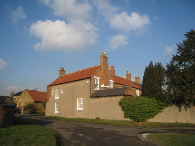
Image: © Jonathan Thacker Taken: 3 Feb 2012
No longer an active farm with new dwellings in the former farmyard.
Images are licensed for reuse under creativecommons.org/licenses/by-sa/2.0
Image Location
Latitude
52.898586
Longitude
-0.858707