Sluvad Road houses east of New Inn
Introduction
The photograph on this page of Sluvad Road houses east of New Inn by Jaggery as part of the Geograph project.
The Geograph project started in 2005 with the aim of publishing, organising and preserving representative images for every square kilometre of Great Britain, Ireland and the Isle of Man.

There are currently over 7.5m images from over 14,400 individuals and you can help contribute to the project by visiting https://www.geograph.org.uk
Sluvad Road houses east of New Inn
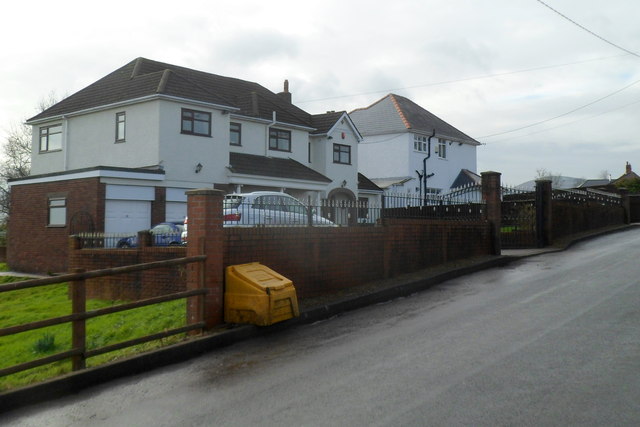
Image: © Jaggery Taken: 6 Feb 2012
The houses are on the south side of Sluvad Road, about 400 metres east of Jerusalem Lane, New Inn.
Images are licensed for reuse under creativecommons.org/licenses/by-sa/2.0
Image Location


Leaflet Map data © OpenStreetMap
Latitude
51.688197
Longitude
-2.999552