Disused farm near Balderstone Hall
Introduction
The photograph on this page of Disused farm near Balderstone Hall by Bill Boaden as part of the Geograph project.
The Geograph project started in 2005 with the aim of publishing, organising and preserving representative images for every square kilometre of Great Britain, Ireland and the Isle of Man.

There are currently over 7.5m images from over 14,400 individuals and you can help contribute to the project by visiting https://www.geograph.org.uk
Disused farm near Balderstone Hall
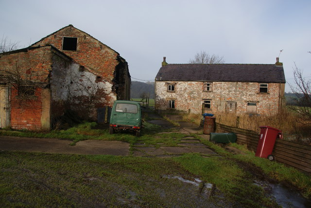
Image: © Bill Boaden Taken: 28 Jan 2012
The surrounding land is still in use and has been swallowed either by Balderstone Hall Farm or Lower House Farm.
Images are licensed for reuse under creativecommons.org/licenses/by-sa/2.0
Image Location
Latitude
53.790967
Longitude
-2.588769