Balderstone Hall Farm
Introduction
The photograph on this page of Balderstone Hall Farm by Bill Boaden as part of the Geograph project.
The Geograph project started in 2005 with the aim of publishing, organising and preserving representative images for every square kilometre of Great Britain, Ireland and the Isle of Man.

There are currently over 7.5m images from over 14,400 individuals and you can help contribute to the project by visiting https://www.geograph.org.uk
Balderstone Hall Farm
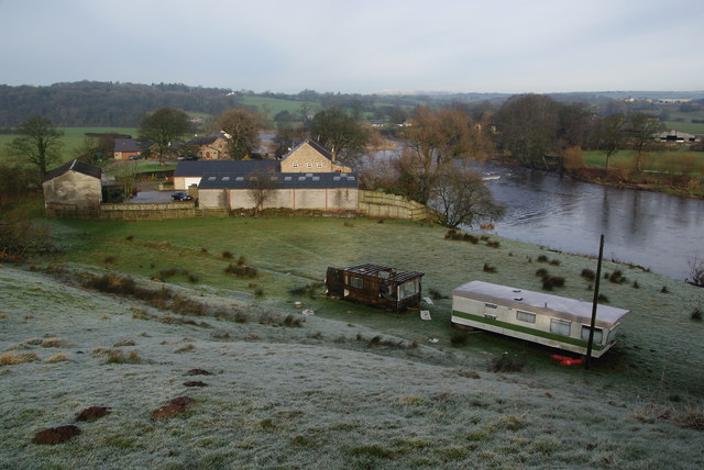
Image: © Bill Boaden Taken: 28 Jan 2012
Situated next to the Ribble. It is more a country house now than a farm.
Images are licensed for reuse under creativecommons.org/licenses/by-sa/2.0
Image Location
Latitude
53.791515
Longitude
-2.586803