Footpath under the railway
Introduction
The photograph on this page of Footpath under the railway by Graham Horn as part of the Geograph project.
The Geograph project started in 2005 with the aim of publishing, organising and preserving representative images for every square kilometre of Great Britain, Ireland and the Isle of Man.

There are currently over 7.5m images from over 14,400 individuals and you can help contribute to the project by visiting https://www.geograph.org.uk
Footpath under the railway
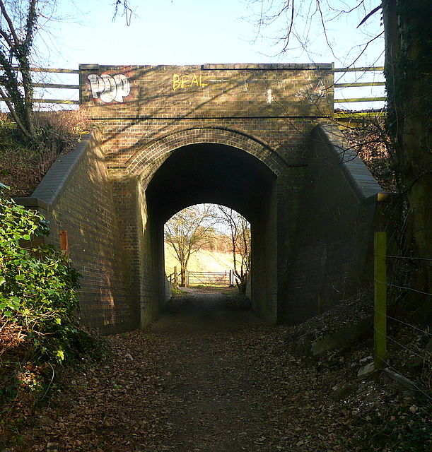
Image: © Graham Horn Taken: 15 Jan 2012
This carries to Aylesbury to London Marylebone railway line, next stop to the right High Wycombe. The footpath heads towards Cookshall Farm.
Images are licensed for reuse under creativecommons.org/licenses/by-sa/2.0
Image Location
Latitude
51.647979
Longitude
-0.795852