Bradenham valley
Introduction
The photograph on this page of Bradenham valley by Graham Horn as part of the Geograph project.
The Geograph project started in 2005 with the aim of publishing, organising and preserving representative images for every square kilometre of Great Britain, Ireland and the Isle of Man.

There are currently over 7.5m images from over 14,400 individuals and you can help contribute to the project by visiting https://www.geograph.org.uk
Bradenham valley
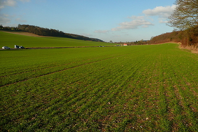
Image: © Graham Horn Taken: 15 Jan 2012
This broad, dry valley carries the A4010 towards Bradenham and Princes Risborough. The railway also follows the valley, to the right. A winter wheat crop lies dormant in the field.
Images are licensed for reuse under creativecommons.org/licenses/by-sa/2.0
Image Location
Latitude
51.647636
Longitude
-0.797451