Access to the A3
Introduction
The photograph on this page of Access to the A3 by Graham Horn as part of the Geograph project.
The Geograph project started in 2005 with the aim of publishing, organising and preserving representative images for every square kilometre of Great Britain, Ireland and the Isle of Man.

There are currently over 7.5m images from over 14,400 individuals and you can help contribute to the project by visiting https://www.geograph.org.uk
Access to the A3
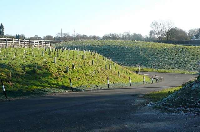
Image: © Graham Horn Taken: 14 Jan 2012
The construction of Hindhead tunnel has resulted in a slight diversion of the A3 even this far south of the tunnel. The new road runs behind that bank, where the planting is still young. This slip road gives access to the old road, which runs parallel for a short distance.
Images are licensed for reuse under creativecommons.org/licenses/by-sa/2.0
Image Location
Latitude
51.099319
Longitude
-0.756458