Blackpool: pastel frontages in Hull Road
Introduction
The photograph on this page of Blackpool: pastel frontages in Hull Road by Chris Downer as part of the Geograph project.
The Geograph project started in 2005 with the aim of publishing, organising and preserving representative images for every square kilometre of Great Britain, Ireland and the Isle of Man.

There are currently over 7.5m images from over 14,400 individuals and you can help contribute to the project by visiting https://www.geograph.org.uk
Blackpool: pastel frontages in Hull Road
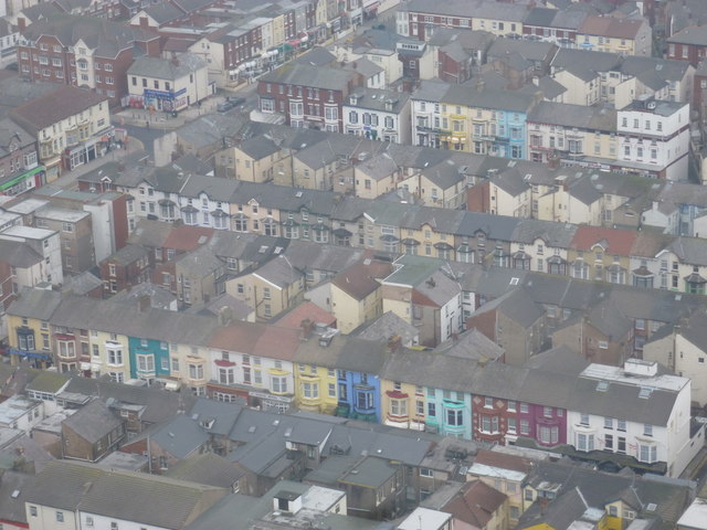
Image: © Chris Downer Taken: 29 Jan 2012
Looking down from the viewing area at the top of Blackpool Tower, onto some of the city streets below. Along the bottom is Hull Road, with Vance Road behind it and the western segment of Hornby Road behind again. The main road cutting through the top-left corner of the picture is Coronation Street.
Images are licensed for reuse under creativecommons.org/licenses/by-sa/2.0
Image Location
Latitude
53.814406
Longitude
-3.051578