Downland pasture south of Tandridge Priory
Introduction
The photograph on this page of Downland pasture south of Tandridge Priory by Stefan Czapski as part of the Geograph project.
The Geograph project started in 2005 with the aim of publishing, organising and preserving representative images for every square kilometre of Great Britain, Ireland and the Isle of Man.

There are currently over 7.5m images from over 14,400 individuals and you can help contribute to the project by visiting https://www.geograph.org.uk
Downland pasture south of Tandridge Priory
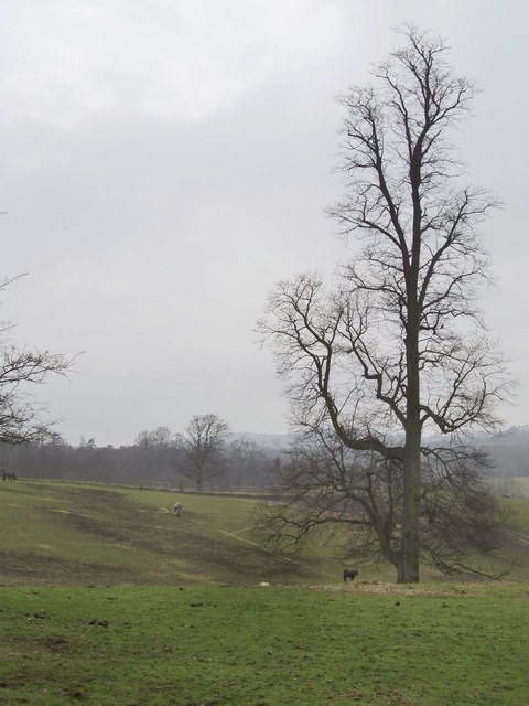
Image: © Stefan Czapski Taken: 29 Jan 2012
Taken on a dull January afternoon. The very upright tree is a beech.
Images are licensed for reuse under creativecommons.org/licenses/by-sa/2.0
Image Location
Latitude
51.250711
Longitude
-0.027027