New houses, Whitmore Way
Introduction
The photograph on this page of New houses, Whitmore Way by Ian Capper as part of the Geograph project.
The Geograph project started in 2005 with the aim of publishing, organising and preserving representative images for every square kilometre of Great Britain, Ireland and the Isle of Man.

There are currently over 7.5m images from over 14,400 individuals and you can help contribute to the project by visiting https://www.geograph.org.uk
New houses, Whitmore Way
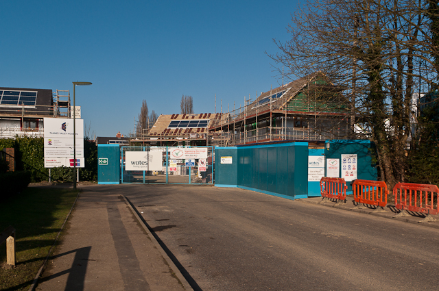
Image: © Ian Capper Taken: 15 Jan 2012
A development of "affordable housing" consisting of 20 houses and 16 flats on the site of a former depot off Lee Street.
Images are licensed for reuse under creativecommons.org/licenses/by-sa/2.0
Image Location
Latitude
51.176844
Longitude
-0.184324