SE boundary of Ystrad
Introduction
The photograph on this page of SE boundary of Ystrad by Jaggery as part of the Geograph project.
The Geograph project started in 2005 with the aim of publishing, organising and preserving representative images for every square kilometre of Great Britain, Ireland and the Isle of Man.

There are currently over 7.5m images from over 14,400 individuals and you can help contribute to the project by visiting https://www.geograph.org.uk
SE boundary of Ystrad
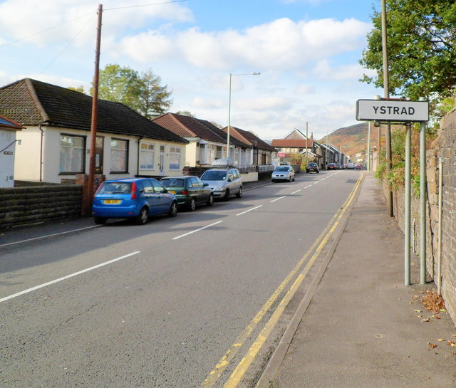
Image: © Jaggery Taken: 28 Oct 2011
Tyntyla Road (A4058) crosses from Llwynypia into Ystrad. The nearby railway station is named Ystrad Rhondda to distinguish it from Ystrad Mynach (and from other communities named Ystrad).
Images are licensed for reuse under creativecommons.org/licenses/by-sa/2.0
Image Location
Latitude
51.641156
Longitude
-3.456633