On Foot Towards Sparrowpit
Introduction
The photograph on this page of On Foot Towards Sparrowpit by Jonathan Clitheroe as part of the Geograph project.
The Geograph project started in 2005 with the aim of publishing, organising and preserving representative images for every square kilometre of Great Britain, Ireland and the Isle of Man.

There are currently over 7.5m images from over 14,400 individuals and you can help contribute to the project by visiting https://www.geograph.org.uk
On Foot Towards Sparrowpit
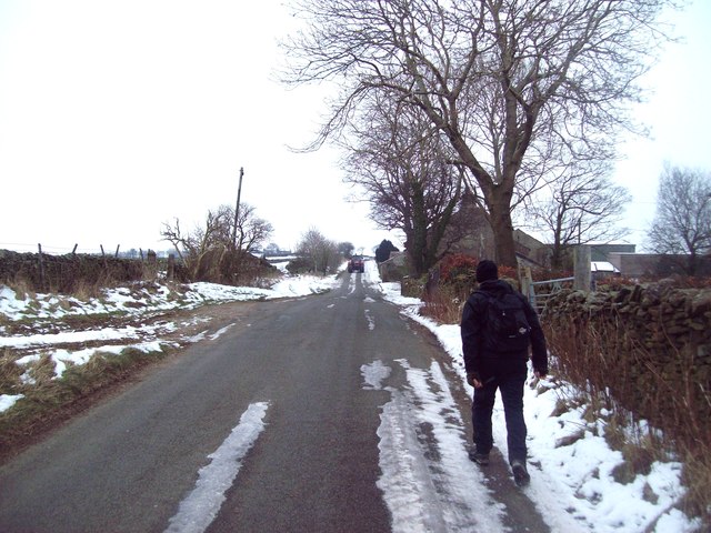
Image: © Jonathan Clitheroe Taken: 4 Feb 2012
This lane climbs to a height of over 400 metres before dropping into Sparrowpit about a kilometre ahead. The dwelling on the right is Avonmore beyond which is Peaslows Farm.
Images are licensed for reuse under creativecommons.org/licenses/by-sa/2.0
Image Location
Latitude
53.324061
Longitude
-1.879706