Rhondda Fawr river upstream from Princess Louise Road, Llwynypia
Introduction
The photograph on this page of Rhondda Fawr river upstream from Princess Louise Road, Llwynypia by Jaggery as part of the Geograph project.
The Geograph project started in 2005 with the aim of publishing, organising and preserving representative images for every square kilometre of Great Britain, Ireland and the Isle of Man.

There are currently over 7.5m images from over 14,400 individuals and you can help contribute to the project by visiting https://www.geograph.org.uk
Rhondda Fawr river upstream from Princess Louise Road, Llwynypia
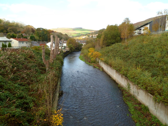
Image: © Jaggery Taken: 28 Oct 2011
The Rhondda Fawr flows towards the bridge carrying the A4058, here named Princess Louise Road, over the river. On the right is an edge of a new hospital, Ysbyty Cwm Rhondda. http://www.geograph.org.uk/photo/2791402
Images are licensed for reuse under creativecommons.org/licenses/by-sa/2.0
Image Location
Latitude
51.634918
Longitude
-3.452098