Water trough at west end of Matfen village
Introduction
The photograph on this page of Water trough at west end of Matfen village by Andrew Curtis as part of the Geograph project.
The Geograph project started in 2005 with the aim of publishing, organising and preserving representative images for every square kilometre of Great Britain, Ireland and the Isle of Man.

There are currently over 7.5m images from over 14,400 individuals and you can help contribute to the project by visiting https://www.geograph.org.uk
Water trough at west end of Matfen village
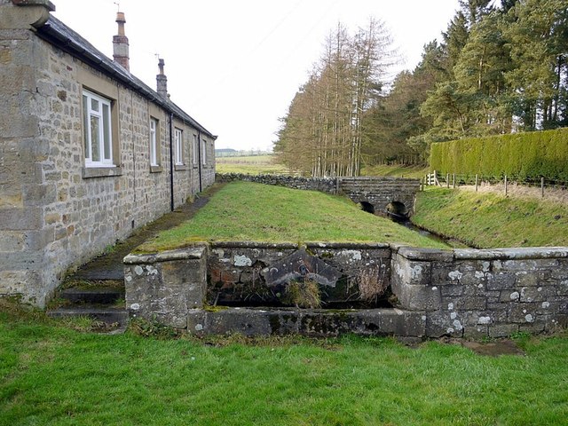
Image: © Andrew Curtis Taken: 28 Jan 2012
The trough is by the roadside at the rear of Douglas Cottages. Whittle Dene watercourse is on the right. Just beyond the bridge, the watercourse emerges from a long tunnel bringing water from Hallington Reservoirs.
Images are licensed for reuse under creativecommons.org/licenses/by-sa/2.0
Image Location
Latitude
55.041332
Longitude
-1.955842