Gunhill Field
Introduction
The photograph on this page of Gunhill Field by Simon Carey as part of the Geograph project.
The Geograph project started in 2005 with the aim of publishing, organising and preserving representative images for every square kilometre of Great Britain, Ireland and the Isle of Man.

There are currently over 7.5m images from over 14,400 individuals and you can help contribute to the project by visiting https://www.geograph.org.uk
Gunhill Field
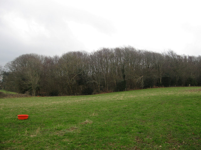
Image: © Simon Carey Taken: 29 Jan 2012
The name of the field according to Chiddingly's 1839 tithe map with Pickly Wood at the far end. Interestingly both this field and nearby Gunhill Wood are spelt as one word whilst the hamlet plus a couple of dwellings is spelt as two words.
Images are licensed for reuse under creativecommons.org/licenses/by-sa/2.0
Image Location


Leaflet Map data © OpenStreetMap
Latitude
50.910579
Longitude
0.228269