Gun Hill Cottage
Introduction
The photograph on this page of Gun Hill Cottage by Simon Carey as part of the Geograph project.
The Geograph project started in 2005 with the aim of publishing, organising and preserving representative images for every square kilometre of Great Britain, Ireland and the Isle of Man.

There are currently over 7.5m images from over 14,400 individuals and you can help contribute to the project by visiting https://www.geograph.org.uk
Gun Hill Cottage
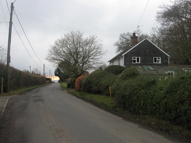
Image: © Simon Carey Taken: 29 Jan 2012
Located at the northern end of the small hamlet of Gun Hill, built around a local inn that itself was named after the local iron foundries found in the nearby woods.
Images are licensed for reuse under creativecommons.org/licenses/by-sa/2.0
Image Location


Leaflet Map data © OpenStreetMap
Latitude
50.911657
Longitude
0.22832