Pedlar's Hop Garden
Introduction
The photograph on this page of Pedlar's Hop Garden by Simon Carey as part of the Geograph project.
The Geograph project started in 2005 with the aim of publishing, organising and preserving representative images for every square kilometre of Great Britain, Ireland and the Isle of Man.

There are currently over 7.5m images from over 14,400 individuals and you can help contribute to the project by visiting https://www.geograph.org.uk
Pedlar's Hop Garden
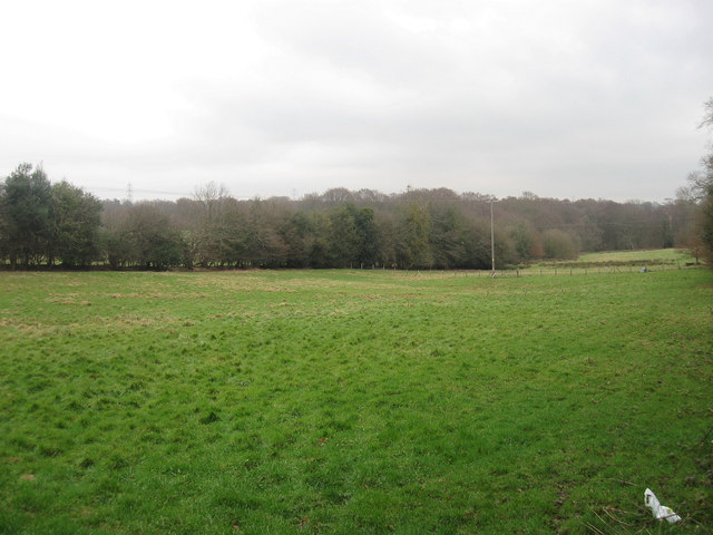
Image: © Simon Carey Taken: 29 Jan 2012
The name of the field according to Chiddingly's 1839 tithe map and a reminder of the numerous small hop gardens that once existed attached to many small farms at that time. Swansbrook Wood can be seen in the distance.
Images are licensed for reuse under creativecommons.org/licenses/by-sa/2.0
Image Location


Leaflet Map data © OpenStreetMap
Latitude
50.91288
Longitude
0.230228