The way to Nine Elms Pier
Introduction
The photograph on this page of The way to Nine Elms Pier by Marathon as part of the Geograph project.
The Geograph project started in 2005 with the aim of publishing, organising and preserving representative images for every square kilometre of Great Britain, Ireland and the Isle of Man.

There are currently over 7.5m images from over 14,400 individuals and you can help contribute to the project by visiting https://www.geograph.org.uk
The way to Nine Elms Pier
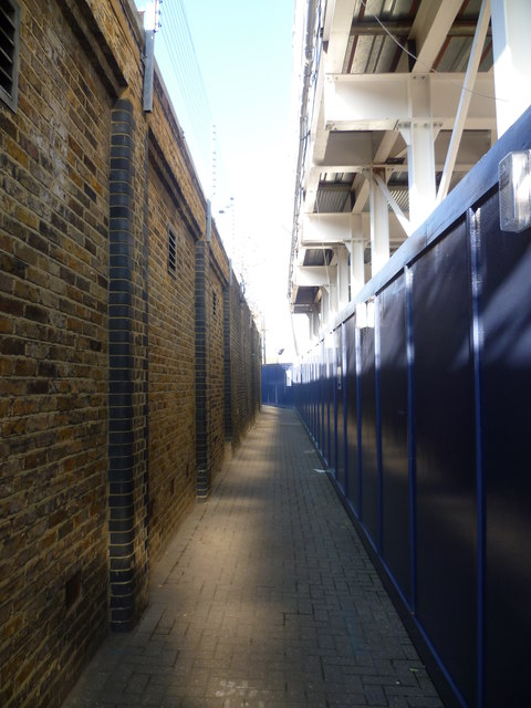
Image: © Marathon Taken: 1 Feb 2012
This is actually Kirtling Street but because of the building works on the right hand side it has been narrowed to an alleyway. The Thames at Nine Elms Pier is a little way ahead and because of the construction work on the former Tideway Industrial Estate it was necessary to return the same way as the Thames Path had been blocked by the Battersea Barge.
Images are licensed for reuse under creativecommons.org/licenses/by-sa/2.0
Image Location
Latitude
51.481857
Longitude
-0.13891