Water tower and St. Bartholomew's Church, Mickleburgh Hill
Introduction
The photograph on this page of Water tower and St. Bartholomew's Church, Mickleburgh Hill by Antony Dixon as part of the Geograph project.
The Geograph project started in 2005 with the aim of publishing, organising and preserving representative images for every square kilometre of Great Britain, Ireland and the Isle of Man.

There are currently over 7.5m images from over 14,400 individuals and you can help contribute to the project by visiting https://www.geograph.org.uk
Water tower and St. Bartholomew's Church, Mickleburgh Hill
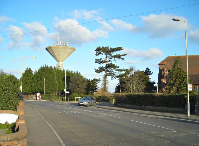
Image: © Antony Dixon Taken: 2 Feb 2012
I don't think many of these water towers are still in use for their original purpose, but they make handy mobile phone masts.
Images are licensed for reuse under creativecommons.org/licenses/by-sa/2.0
Image Location
Latitude
51.367569
Longitude
1.140919