High Street
Introduction
The photograph on this page of High Street by Jo and Steve Turner as part of the Geograph project.
The Geograph project started in 2005 with the aim of publishing, organising and preserving representative images for every square kilometre of Great Britain, Ireland and the Isle of Man.

There are currently over 7.5m images from over 14,400 individuals and you can help contribute to the project by visiting https://www.geograph.org.uk
High Street
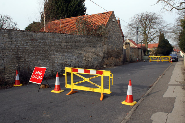
Image: © Jo and Steve Turner Taken: 4 Feb 2012
Just in case it falls down, this is the building opposite 15 High Street Washingborough. The road has been closed from 23/12/2011 and is not expected to re-open until the end of February 2012.
Images are licensed for reuse under creativecommons.org/licenses/by-sa/2.0
Image Location
Latitude
53.222453
Longitude
-0.474558