Llwybr troed Llanarthne footpath
Introduction
The photograph on this page of Llwybr troed Llanarthne footpath by Alan Richards as part of the Geograph project.
The Geograph project started in 2005 with the aim of publishing, organising and preserving representative images for every square kilometre of Great Britain, Ireland and the Isle of Man.

There are currently over 7.5m images from over 14,400 individuals and you can help contribute to the project by visiting https://www.geograph.org.uk
Llwybr troed Llanarthne footpath
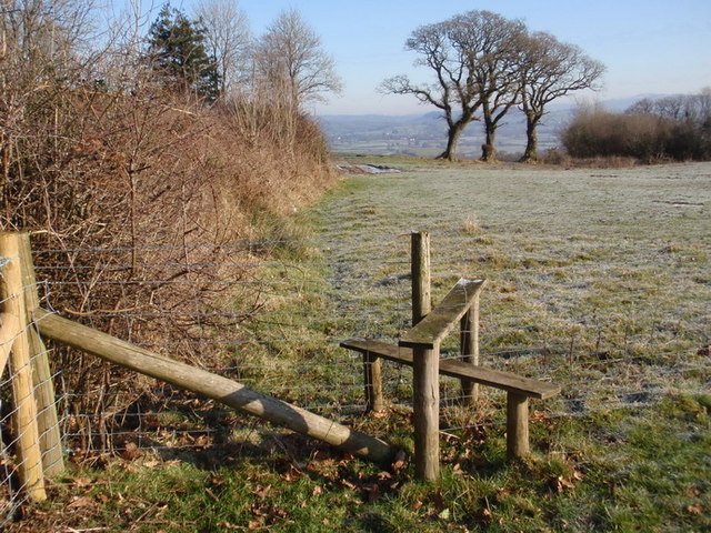
Image: © Alan Richards Taken: 3 Feb 2012
Llwybr cyhoeddus dymunol iawn yn arwain o Ffarm Greenhill at bentre Llanarthne. Ychydig i'r chwith o'r tair derwen yn y pellter ceir Greenhill Cottage, bwthyn gwag wedi ei wneud yn llwyr o fetel rhychog sinc. A pleasant footpath leading from Greenhill Farm towards the village of Llanarthne. Located just to the left of the three oak trees in the distance is Greenhill Cottage, a dilapidated house made entirely from corrugated zinc sheets.
Images are licensed for reuse under creativecommons.org/licenses/by-sa/2.0
Image Location
Latitude
51.856904
Longitude
-4.146831